The map is from the website of the Alaska Volcano Observatory https://www.avo.alaska.edu/ . The map shows the location of volcanoes west of Cook Inlet. The active and dormant volcanoes (Black Triangles on the map) are within the Aleutian chain.
Mount Iliamna is a dormant stratovolcano, but with eruptions at 300 and 400 years ago. These were pyroclastic flows. The top of the volcano is at an elevation of 10,015 feet. Much of the volcano is glacier covered. The volcano is still seismically active and has hot springs and fumaroles. The volcano can be seen from the west side of the Kenai Peninsula.
Mount Iliamna viewed from the Kenai Peninsula across the Cook Inlet.
|
 |
| Exit Glacier and outwash. |
 |
| Seward Harbor. |
 |
| Seward Harbor as a water color. |
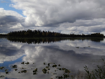
Photographic reflections from the Kenai Peninsula.
"Kenai Locals"
There is much to see and do on the Kenai Peninsula and in the Anchorage area. I used to think that Alaska had to be overrated, however, that was before I visited the 49th state. The other places that I have visited are Juneau, Skagway, Fairbanks, Sitka and McKinley (Denali).
I wish that everyone could get the chance to see Alaska!


No comments:
Post a Comment