The Cascade volcanoes are a fantastic result of plates tectonics. Seven of the volcanoes have erupted in the last 200 years and three of these have erupted in the last 100 years. The eruption of Mount St. Helens on May 18, 1980 was both spectacular and tragic. I am sure many of you saw some of the ash clouds and eruptions. I saw it once from a passenger jet flying east from Seattle; mainly steam and some ash.
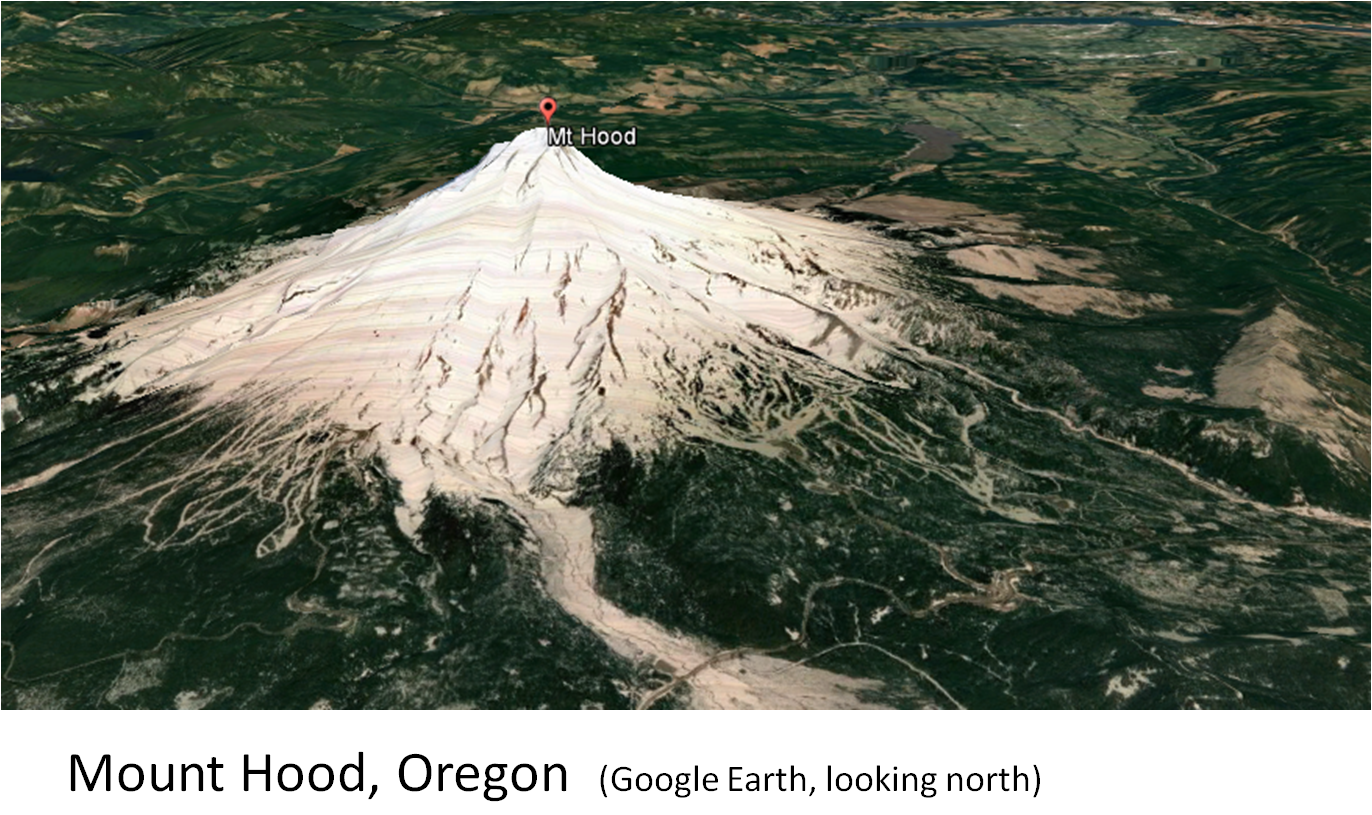
The Cascade volcanic arc extends northward from northern California, through Oregon and Washington, extending into British Columbia (Mount Garibaldi and Mount Meager).
 | ||
| Cascade volcanic arc formed by the subduction of the Juan de Fuca plate beneath the North American plate. USGS
|


 |
| Oblique view of Mount St. Helens showing the various volcanic deposits and the lava domes (USGS). The view is approximately the same as the satellite image in the previous illustration. |

 |
| Note the well developed flow ogives (pressure ridges) emanating from the felsic volcanic dome field. |


A first hand account of the eruption of Mt. St. Helens is available. The book is: Mt. St. Helens, Surviving the Stone Wind. The author is Catherine Hickson.

 |
| Catherine Hickson |
No comments:
Post a Comment