Friday, January 20, 2017

The Yukon: A Brief Photo Tour

Today's post has some of my favorite photos from the wild and scenic Yukon Territory of Canada.  It is a wonderful place for a vacation.  It is so popular with German tourists that there are non-stop flights from Frankfurt to Whitehorse.  The Japanese are also common visitors to the Yukon.


Map from the Yukon Travel website.  The site is an excellent website for planning a trip to the Yukon.  The link is below.


Plaque memorializing the early prospectors making their way over Chilkoot Pass.


Helicopter with the Yukon River in the background, fire weed, placer gold nuggets mined by modern-day, small miners, and abandoned exploration and mining equipment (1970's Ford Bronco).


Photo of large landslide on the south side of Little Salmon Lake between Carmacks and Faro (photo date August 7, 2012).  Oblique view of landslide from Google Earth (lower left),  vertical Google Earth image (north is up).  The arrow shows the approximate location and direction of the photo of the landslide taken from Highway 4.  Google Earth images from 2004 through 2008 show that the slide develop and moved over a 5-year period.
 
 
The beauty of the Yukon and a bear footprint next to a rock hammer.
  
Majestic mountains in the southeastern area of the Yukon looking towards the Northwest Territories.
 
The Yukon River at sunset.


Thursday, January 5, 2017

Gold Discovery: 10 Basic items needed for a successful transition from exploration to a mine.

I dug up an old memo written in 1983 by Neil Muncaster, Vice President of Exploration for Tenneco Minerals Company.  I worked for Neil in the mid-to-late 1980's.  At that time most geologists, especially exploration geologists, did not use computers.  He commented to me that if he had a geologist using a computer to contour geochem or other assay data he would fire them.  He also wanted to see individual assays on cross sections, not composites or mineralized intercepts.  Mostly he was a ore finder, whether directly or in managing exploration departments as the VP.

This is a copy of that brief memo...


The memo is rather dated.  Now with GPS and GIS geologists routinely have real-world coordinates.  Software like Leapfrog https://www.leapfrog3d.com/  and GeoReka  http://www.geo-reka.com/ puts high tech computer modelling in the hands of exploration geologists. 
 
It has been my experience that the greatest weakness in exploration "discoveries" is the lack of early metallurgical testing.  Hot cyanide assays and bottle roll test for gold extraction are inexpensive and should be done a soon as ore-grade intercepts are made.
 
This is a good check list for projects that have ore-grade intercepts and for projects just getting started.  Best of luck with your drilling projects!

Saturday, December 31, 2016

Nevada Gold: Hoping for better times in 2017

To all of my friends and Nevada geo's, here is to hoping that 2017 brings higher gold prices and VG in your rock samples!

Coarse, crystalline gold from Nevada, about 1.2 troy ozs.

Wednesday, December 7, 2016

The Big Bonaza: Comstock Lode, Virginia City, Nevada

I stumbled across my 1947 edition of Dan De Quille's book on the history of the discovery, mining and people of the Comstock Lode. He wrote the book while he was a writer for the Territorial Enterprise newspaper in Virginia City, Nevada.  He worked at the paper for 31 years (1862-1892).  Mark Twain was also writer at the newspaper.  For a few years Twain worked with De Quille.

Dan De Quille (William Wright)


The book was conceived by the Barons of the Comstock:  Mackay, Fair, Jones and Ralston.  They decided in 1874, about 15 years after the discovery of the bonanza lode that a history of the district should be written.  Based in part on the recommendation by Twain to Mackay, De Quille was selected to be the write the history of the Comstock, a newspaper writer that lived and worked on the Comstock. The book was published in 1876.  The book is written in a style similar to a series of newspaper articles.  It has 439 pages and 73 chapters; that is only an average of six pages per chapter.  My favorite thing about the book are the many pen and ink illustrations from the Comstock.


First edition volume of The Big Bonanza.

The edition of the book that I bought in Virginia City in 1988 was published by Alfred A. Knopf in 1947.  I purchased the book used for $35.  The book was originally purchased from The Broadway Store book section. (In the 1960's and before, The Broadway Department stores of California had book sections.) The Broadway sold the book for $5.00.

The original first edition is available via the internet and more recent editions are also available.


Title page for this edition, published to commemorate the discovery of gold and silver in California and Nevada.

"Song of the Honest Miner:"  One of the many pen and ink illustrations from the book.

The RED outline is area burned in the fire of 1875 [The highlighting is mine]

Satellite view of Virginia City at the same angle and direction as the above lithograph.  Source:  Google Earth.
The book is a wonderful history of the Comstock and the early days of Nevada including its colorful characters, the mining and milling, the miners, the mine accidents, the fire of 1875 and the fantastic fortunes that were made for the fortunate "few."  Pickup a copy of the book for a fascinating read about the Comstock Lode.

Thursday, November 17, 2016

Pacific: Simon Winchester's New Collection of Essays on Geology, Colonies Lost, Nature and Wars


The UK's Simon Winchester, 72-year old best selling author, has recently released a new book about natural and human-caused events that occurred around and in the Pacific Ocean.  It is a fascinating read filled with bits of history and the natural events that took place in the Pacific.  It also brings to life some unimaginable stories about the formation of the Sony Corporation and the transistor radio.  There is a chapter on the discovery and confirmation of continental drift, now known as "Plate Tectonics."  The story of the discovery of the deep sea, black smokers and life in the deep ocean.

It is an eclectic collection of stories of non-fiction, written in easy-reading prose.


This is the table of contents of the book which I have made brief annotations of what the various chapters are about.  As you can read it is a very wide range of topics.  All the chapters are enjoyable and will improve your knowledge of many interesting events.  The book will be enjoyed by geologists, history buffs, environmentalists, military buffs, nerds and anyone desiring to learn about their world.

I highly recommend  the "Pacific."  If you like John McPhee's books you will enjoy Winchester's writing.

Other Winchester books that I have read and recommend are:  The Map That Changed the World, about William Smith's geologic mapping in the British Isles, Krakatoa, and The Man Who Loved China.  And there are many more that I have yet to read but plan to in the near future, specifically "Korea."

 
Thanks for viewing this post and please comment. dle

Friday, November 4, 2016

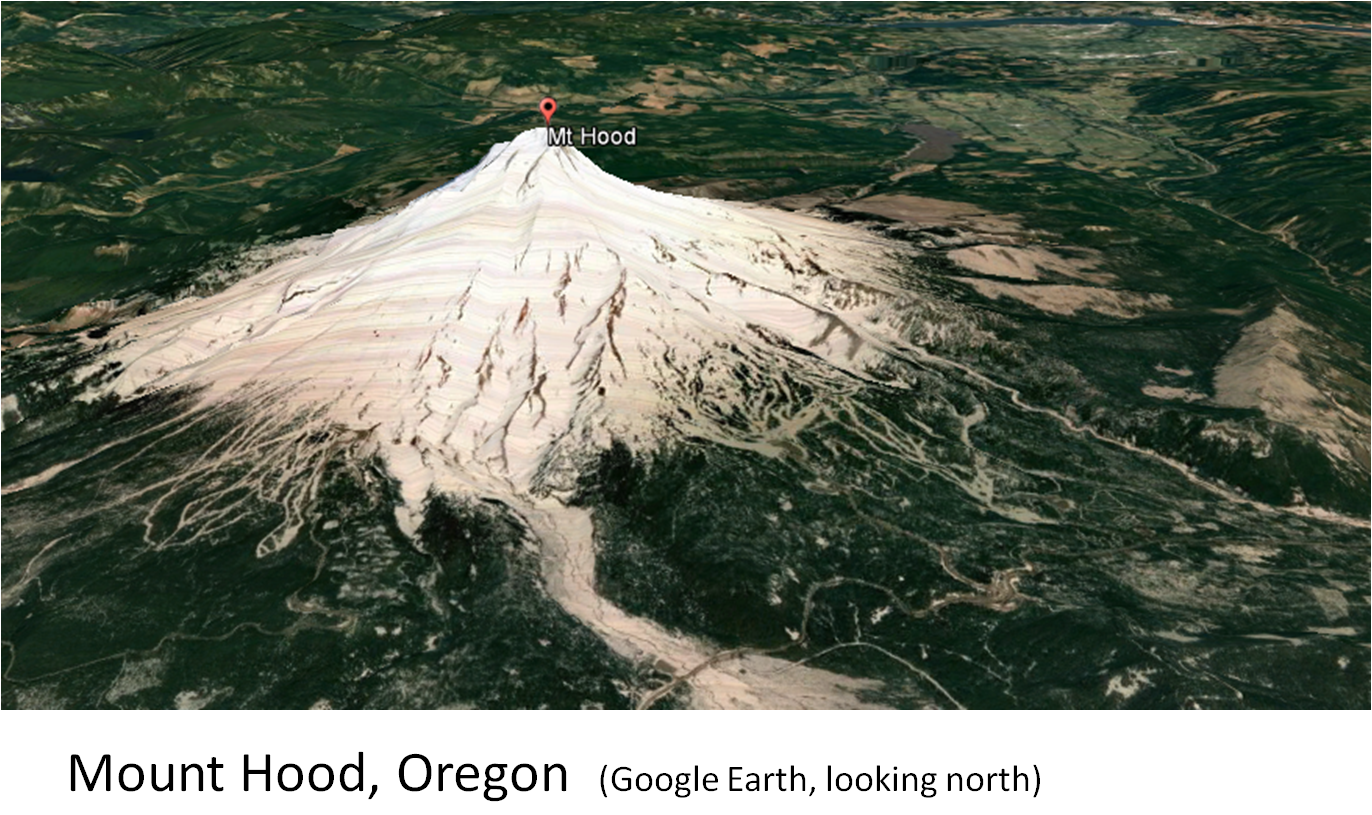
The Cascade Volcanoes as seen in Satellite Images


The Cascade volcanoes are a fantastic result of plates tectonics.  Seven of the volcanoes have erupted in the last 200 years and three of these have erupted in the last 100 years.  The eruption of Mount St. Helens on May 18, 1980 was both spectacular and tragic.  I am sure many of you saw some of the ash clouds and eruptions.  I saw it once from a passenger jet flying east from Seattle; mainly steam and some ash.

The Cascade volcanic arc extends northward from northern California, through Oregon and Washington, extending into British Columbia (Mount Garibaldi and Mount Meager).


Cascade volcanic arc formed by the subduction of the Juan de Fuca plate beneath the North American plate.  USGS


Map of the Cascade volcanoes, the historic eruptions are highlighted.


I have captured satellite images of the Cascade volcanoes that have had historic eruptions from Google Earth.  They are presented in the following as a slide show.


Oblique view of Mount St. Helens showing the various volcanic deposits and the lava domes (USGS).  The view is approximately the same as the satellite image in the previous illustration.


Note the well developed flow ogives (pressure ridges) emanating from the felsic volcanic dome field.


A first hand account of the eruption of Mt. St. Helens is available.  The book is:  Mt. St. Helens, Surviving the Stone Wind. The author is Catherine Hickson.


Catherine Hickson

Thursday, October 20, 2016

Corkscrew Mtn, Toroda Creek Graben, Washington

Corkscrew Mountain is an interesting geological formation composed of Tertiary basalt flows in northern Washington.  It is located 2.5 miles west of Toroda and north of Toroda Creek.  Volcanic rocks form many interesting landscapes.

Corkscrew Mountain shown on the Toroda USGS 7.5' topo.
 
The photos below show several basalt flows exhibiting columnar jointing along with the flow tops and bottoms.  The trough shape of the flows may indicate that they flowed down a gentle valley.  The image on the right is the authors concept of the original orientation of  the basalt flows.


Oblique view of Corkscrew Mountain viewed on Google Earth.
It is out of the way for most people.  But if you are in the area, it is worth a drive by, a look and a photo. 

Thanks to Tom Johnson, Kinross geologist, for pointing it out to me several years ago.